


United States » Coffee Springs |
| Overview | Location & Specifics | Conditions | Resources | Nearby Systems |
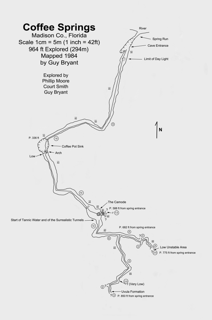
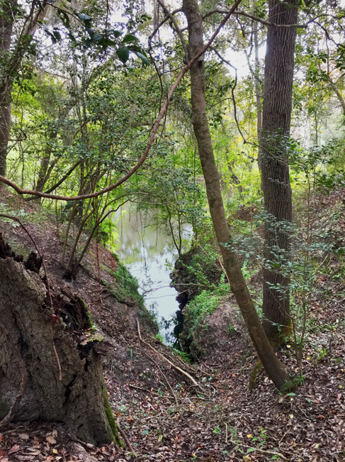 This was originally explored by Guy Bryant and Phillip Moore in 1984. Total length is just under 1,000'. Connected to Coffee Pot Sink.
| Date | Submitter | Visbility | Remarks |
|---|
| Description | Type | Date | Author | Remarks |
|---|---|---|---|---|
| Web Site | Guy Bryant | |||
| Map | 1984 | Guy Bryant |
| System | Depth | Cave | Cavern | OW | Last Report | Distance (mi) |
|---|---|---|---|---|---|---|
| 130 | 4/2/2024 | 6.8 | ||||
| 70 | 6/18/2017 | 7.5 | ||||
| 145 | 8.3 | |||||
| 65 | 0.1 | |||||
| 130 | 8.2 | |||||
| 2.4 | ||||||
| 8.2 | ||||||
| 120 | 4.3 |