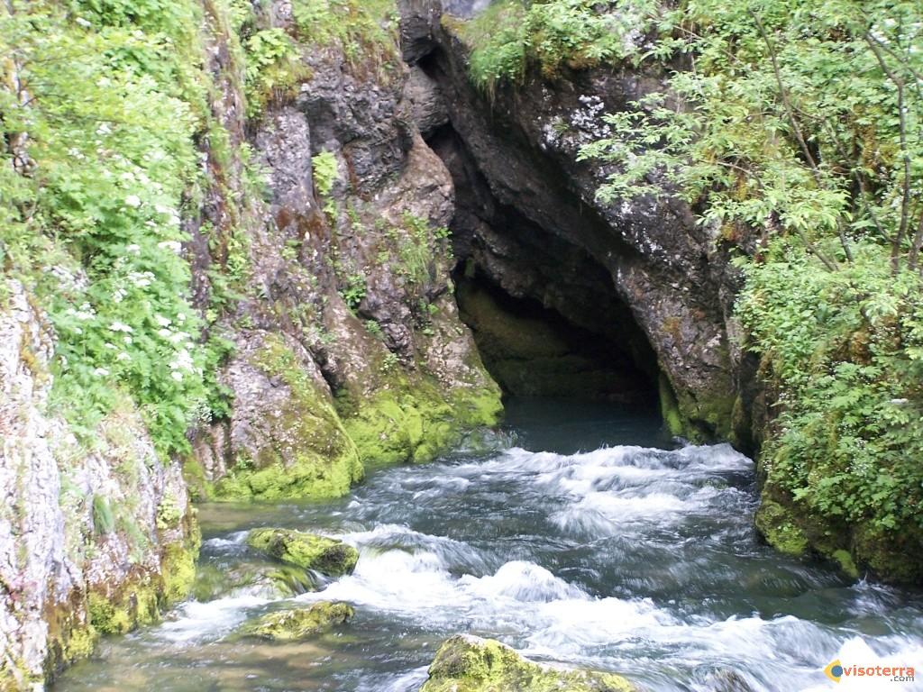
The Doubs river is 453km long, its source is a small karst spring near Mouthe named Source du Doubs. Springing into the western Jura mountains the river flows in a big M to the east and finally flows into the river Saône in Verdun-sur-le-Doubs, some 20km northeast of Chalon-sur-Saône. So while the river has a length of 453km, the distance between source and mouth are only 72km. This is a result of the geology and geography of the Jura. The limestone is folded and forms steep valley, running parallel from northeast to southwest. The river is following this valleys, twice it crosses such a the barrier, but far in the east where they are much lower. First it turns around at Saint-Ursanne in Switzerland, flows back west, then it turns north at Noirefontaine, turns again east at Mandeure and finally turns west or southwest at Montbéliard. It will flow into this direction along the northern rim of the Jura to its mouth.
The river Doubs gives its name to the departement Doubs, it flows through the whole Jura from one end to the other almost twice, and it actually drains the whole karst area. All other springs and rivulets finally mouth into the Doubs. As the river Doubs is the single most important river of such an famous karst area, there are numerous important karst features connected with it. There are the sinks near Pontarlier, and many other hydrologic specialties.
The spring itself is astonishingly unimpressive, but because of its tranquil beauty a well worth a visit. It is a shallow spring, so there is no blue pot, but nevertheless the colour of the water is an impressive blue.
 The Doubs river is 453km long, its source is a small karst spring near Mouthe named Source du Doubs. Springing into the western Jura mountains the river flows in a big M to the east and finally flows into the river Saône in Verdun-sur-le-Doubs, some 20km northeast of Chalon-sur-Saône. So while the river has a length of 453km, the distance between source and mouth are only 72km. This is a result of the geology and geography of the Jura. The limestone is folded and forms steep valley, running parallel from northeast to southwest. The river is following this valleys, twice it crosses such a the barrier, but far in the east where they are much lower. First it turns around at Saint-Ursanne in Switzerland, flows back west, then it turns north at Noirefontaine, turns again east at Mandeure and finally turns west or southwest at Montbéliard. It will flow into this direction along the northern rim of the Jura to its mouth.


