 Portions of the following information were taken from UKDiveGuide.com.
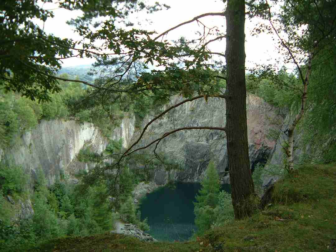
 A disused slate quarry situated in the Tilberthwaite Valley, near Coniston, Hodge Close is one of many such slate workings in the Tilberthwaite area. The mine was worked from the 19th century to the early 1960s and is now a site much favoured by divers. The quarry, once worked as a open pit, is now now flooded by 150ft, with a chamber coming off the bottom. The green slate quarry walls rise straight up from the water 50m to the trees. The water has a maximum depth of approximately 28 metres. Inside the quarry there are a number of tunnels and caverns. Signposted off Ambleside to Coniston road (map reference - Ordnance Survey map 'English Lakes SW area' 318017). The quarry owners will not grant permission for diving - but will not stop divers using the site at their own risk.
Access to the lower car park and tunnel can be obtained by paying £4.00 per car at the house with the A-Flag in the garden. Access to and from the water is challenging! It is through a semi flooded tunnel and then down a scaffolding ladder. Height above sea level - 155 metres.
Closest Air refills are Kendal High St (about 1 hour away) or from Capernwray dive site (about 50 minutes away).
 Portions of the following information were taken from UKDiveGuide.com.


